What is the LessWrong Logo(?) Supposed to Represent?
18habryka
12Trevor Hill-Hand
1[comment deleted]
1DragonGod
5habryka
3puffymist
2Yitz
New Answer
New Comment
2 Answers sorted by
1817
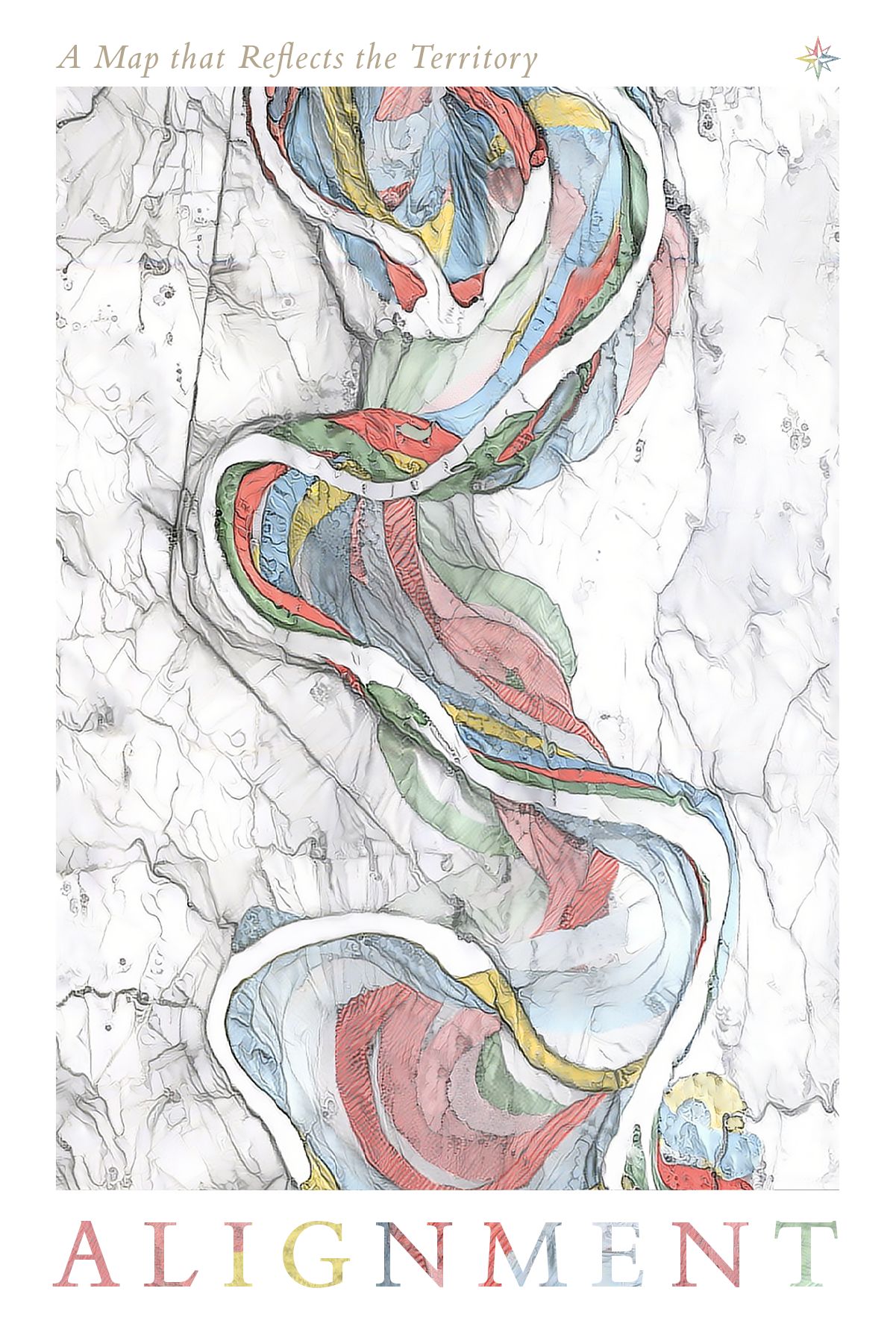
It's Harold Fiske's Mississippi river map that shows how the Mississippi river changed over time, combined with a watercolor style transfer.
It's also the cover of one of the first set of LessWrong books that we published: https://www.lesswrong.com/books/2018
20
When I had the same question a while back, the conclusion that I came to was that it was a picture of a map, depicted on a billowing flag (or piece of cloth), and flags are usually planted somewhere to mark a territory. Thus, it is a map which is used to alter (or become part of) the territory!
What am I even supposed to be looking at here?